Slateford Aqueduct, Edinburgh
Map

Gallery
Facts and practical information
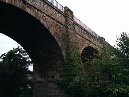
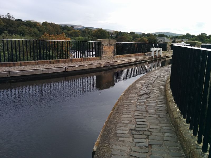
The Slateford Aqueduct is a navigable aqueduct that carries the Union Canal over the Water of Leith at Slateford, Edinburgh, Scotland. Completed in 1822, it has eight arches and spans a length of 500 feet. ()
Completed: 1822 (204 years ago)Length: 500 ftHeight: 75 ftCoordinates: 55°55'24"N, 3°14'58"W
Day trips
Slateford Aqueduct – popular in the area (distance from the attraction)
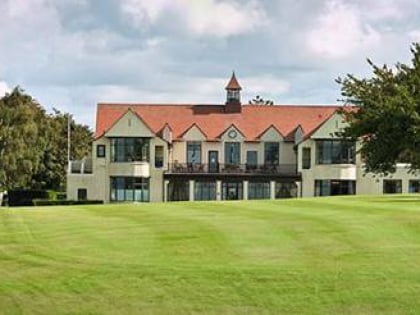
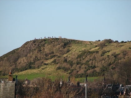
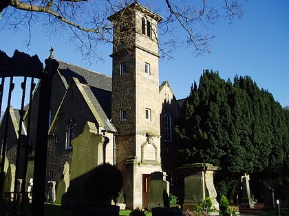
Nearby attractions include: Tynecastle Park, St Joseph's RC Church, Kingsknowe Golf Club, Craiglockhart Hill.
Frequently Asked Questions (FAQ)
Which popular attractions are close to Slateford Aqueduct?
Nearby attractions include Edinburgh Corn Exchange, Edinburgh (7 min walk), Craiglockhart, Edinburgh (9 min walk), Chesser, Edinburgh (11 min walk), Slateford, Edinburgh (15 min walk).
How to get to Slateford Aqueduct by public transport?
The nearest stations to Slateford Aqueduct:
Bus
Train
Tram
Bus
- Water of Leith Centre • Lines: 44 (2 min walk)
- Slateford House • Lines: 44 (3 min walk)
Train
- Slateford (8 min walk)
- Kingsknowe (18 min walk)
Tram
- Balgreen • Lines: Edinburgh Trams Eastbound, Edinburgh Trams Westbound (27 min walk)
- Saughton • Lines: Edinburgh Trams Eastbound, Edinburgh Trams Westbound (31 min walk)
