Pendeen Vau, Pendeen
Map

Map

Facts and practical information
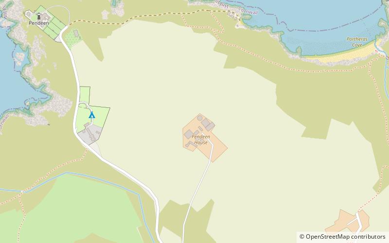
Pendeen Vau is a fogou on the Cornish coast of England, near the village of Pendeen. It is situated at Pendeen farm, once the home of the renowned historian William Borlase about half a mile from Pendeen Lighthouse. As the fogou is on private land, it is only accessible by asking permission at Pendeen Manor farm. ()
Coordinates: 50°9'43"N, 5°39'53"W
Address
Pendeen
ContactAdd
Social media
Add
Day trips
Pendeen Vau – popular in the area (distance from the attraction)
Nearby attractions include: Levant Mine and Beam Engine, Pendeen Lighthouse, Geevor Tin Mine, St Bridget's Church.
Frequently Asked Questions (FAQ)
Which popular attractions are close to Pendeen Vau?
Nearby attractions include Pendeen Lighthouse, Pendeen (10 min walk), Geevor Tin Mine, Pendeen (22 min walk).
How to get to Pendeen Vau by public transport?
The nearest stations to Pendeen Vau:
Bus
Bus
- Lower Boscaswell • Lines: A17 (16 min walk)


