Kilvey Hill, Swansea
Map
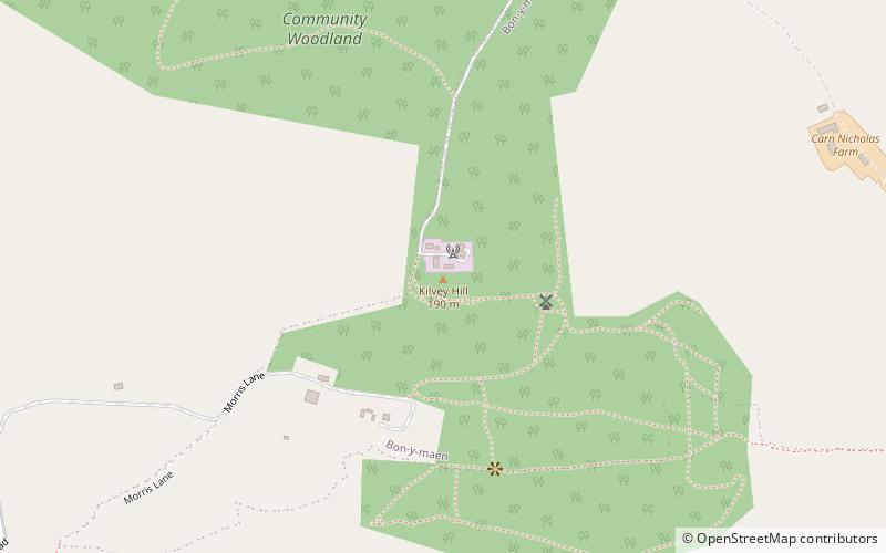
Map

Facts and practical information
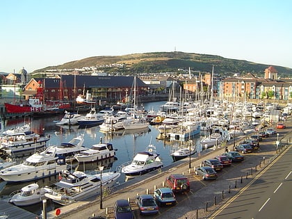
Kilvey Hill is a hill in South Wales, to the east of Swansea. Kilvey Hill is 193 metres high and is classed as a Sub Marilyn. The top of Kilvey Hill enjoys panoramic views of Swansea city centre, Swansea Docks, Swansea Bay, the Lower Swansea Valley, Bon-y-maen, Neath and Port Talbot. Cilfái was a commote of Gower. The historic name of the hill in Welsh is Y Bigwrn, with its summit known as Pen y Bigwrn. Currently, however, it is generally known in Welsh as Mynydd Cilfái, a translation of the English name. ()
Coordinates: 51°37'44"N, 3°55'13"W
Address
Bôn-y-maenSwansea
ContactAdd
Social media
Add
Day trips
Kilvey Hill – popular in the area (distance from the attraction)
Nearby attractions include: Liberty Stadium, Dylan Thomas Centre, Plantasia, Swansea Castle.
Frequently Asked Questions (FAQ)
Which popular attractions are close to Kilvey Hill?
Nearby attractions include Kilvey Community Woodland, Swansea (8 min walk), Norwegian Church, Swansea (16 min walk), Limitless Trampoline Park Swansea, Swansea (21 min walk), Hafod Copperworks, Swansea (23 min walk).
How to get to Kilvey Hill by public transport?
The nearest stations to Kilvey Hill:
Bus
Train
Bus
- Wallace Road • Lines: 44 (10 min walk)
- Jersey Park • Lines: 44 (10 min walk)
Train
- Swansea (23 min walk)


