Birches Head, Stoke-on-Trent
Map

Map

Facts and practical information
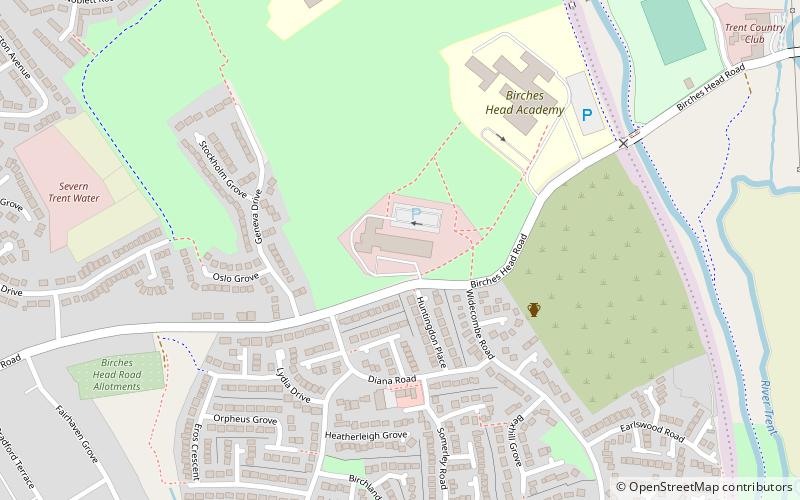
Birches Head is an area within Stoke-on-Trent. It lies on the edge of the town of Hanley. ()
Coordinates: 53°2'15"N, 2°9'16"W
Day trips
Birches Head – popular in the area (distance from the attraction)
Nearby attractions include: Potteries Shopping Centre, Potteries Museum & Art Gallery, Bethesda Methodist Chapel, Ford Green Hall.
Frequently Asked Questions (FAQ)
Which popular attractions are close to Birches Head?
Nearby attractions include Hulton Abbey, Stoke-on-Trent (14 min walk), Central Forest Park, Stoke-on-Trent (18 min walk), Sneyd Green, Stoke-on-Trent (18 min walk), Holden Viaduct, Stoke-on-Trent (22 min walk).
How to get to Birches Head by public transport?
The nearest stations to Birches Head:
Bus
Bus
- Hanley Bus Station (34 min walk)


