Mynydd Bach Trecastell, Brecon Beacons
Map

Map

Facts and practical information
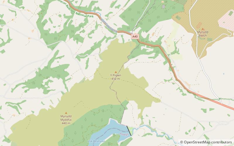
Mynydd Bach Trecastell is a hill on the border between the counties of Carmarthenshire and Powys in southwest Wales. It lies within the Black Mountain of the Brecon Beacons National Park and Fforest Fawr Geopark. Its summit is plateau-like and reaches a height of 412m at OS grid ref SN 827312 at Y Pigwn. The name signifies the 'little hill of castle town'. ()
Coordinates: 51°58'1"N, 3°42'25"W
Address
Brecon Beacons
ContactAdd
Social media
Add
Day trips
Mynydd Bach Trecastell – popular in the area (distance from the attraction)
Nearby attractions include: Llandovery Castle, Usk Reservoir, St Michael's Church, Castle Tump.


