Trek Zone

Low Abbotside, Hawes

#15 among attractions in Hawes

Sightseeing
Low Abbotside location map
Map

Facts and practical information
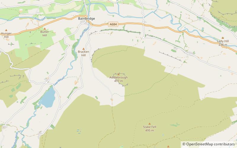
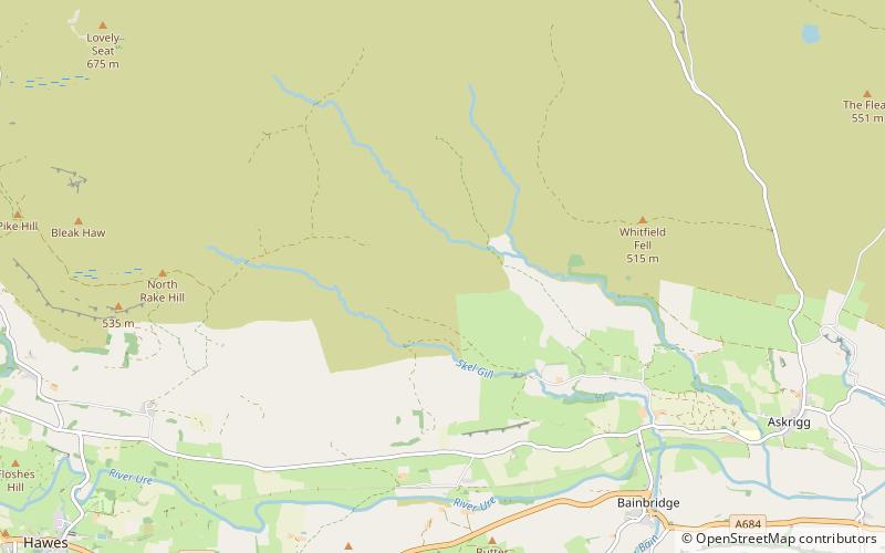
Alternative names: Coordinates: 54°19'41"N, 2°8'6"W
Address

Hawes United Kingdom

ContactAdd
Social media
Add
Day trips

Low Abbotside – popular in the area (distance from the attraction)

Nearby attractions include: Hardraw Force, Gayle Mill, St Mary and St John's Church, Semerwater.

  • hardraw force hawes2.8 miW
  • gayle mill hawes3.3 miSW
  • st mary and st johns church hawes2.9 miW
  • semerwater yorkshire dales3.3 miS
  • dales countryside museum hawes2.8 miSW
  • cotter force hawes4 miW
  • addlebrough yorkshire dales location map
    3.4 miSE
  • great shunner fell yorkshire dales national park5 miNW
  • st oswalds church yorkshire dales national park2.3 miSE
  • st margarets church hawes3 miSW
  • wensleydale hawes2 miSW

Where to next? Visit england England region page or discover the top tourist attractions in United Kingdom.