Church of St Simon and St Jude, Milton Keynes

Gallery (2)
Map
Map
Gallery
Facts and practical information
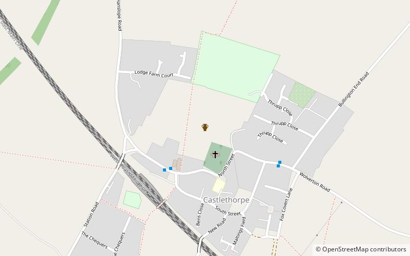
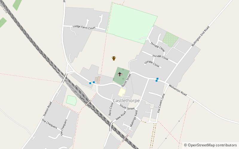
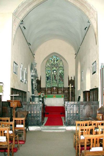
Church of St Simon and St Jude Church is a late 12th century parish church in Castlethorpe, Borough of Milton Keynes, Buckinghamshire, England. It was formerly a chapelry of Hanslope. Of note is the Norman font with figures at the corners. It was designated a Grade I listed building in 1966. ()
Coordinates: 52°5'35"N, 0°50'6"W
Address
Milton Keynes
ContactAdd
Social media
Add
Day trips