Sand Bay, Weston-super-Mare

Gallery (1)
Map
Map
Facts and practical information
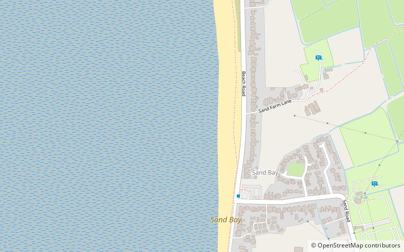
Sand Bay is a strip of coast in North Somerset bordered to the south by Worlebury Hill and to the north by Middle Hope and Sand Point. It lies 2 miles north of the seaside resort of Weston-super-Mare, and across the Bristol Channel from South Wales. It is adjacent to the village of Kewstoke. ()
Coordinates: 51°22'42"N, 2°57'46"W
Address
Kewstoke RoadWeston-super-Mare
ContactAdd
Social media
Add
Day trips