Brandy Hill

Gallery (1)
Map
Map
Facts and practical information
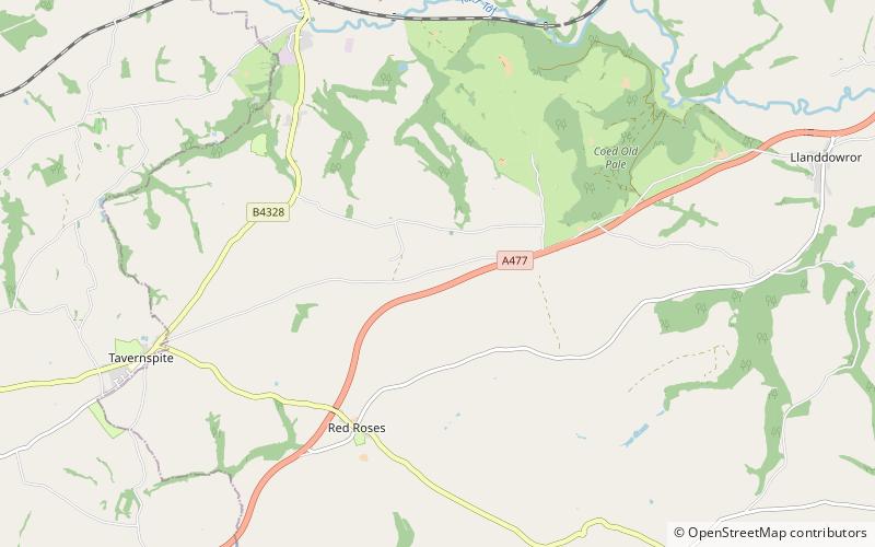
Brandy Hill is a hill in South Wales between Pendine and Whitland, and south-west of St. Clears. At the summit stand a radio transmitter and a trig point. ()
Elevation: 676 ftProminence: 499 ftCoordinates: 51°47'27"N, 4°35'31"W
Location
Wales
ContactAdd
Social media
Add
Day trips


