Knighton, Leicester
Map

Map

Facts and practical information
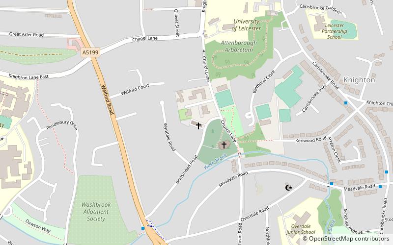
Knighton is a residential suburban area of Leicester, situated between Clarendon Park to the north, Stoneygate to the east, Oadby and Wigston to the south and the Saffron Lane estate to the west. ()
Coordinates: 52°36'22"N, 1°7'1"W
Address
Leicester South (Knighton)Leicester
ContactAdd
Social media
Add
Day trips
Knighton – popular in the area (distance from the attraction)
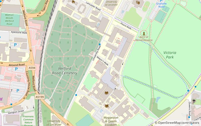
Nearby attractions include: Victoria Park, Gas Museum, Clarendon Park Congregational Church, Arch of Remembrance.
Frequently Asked Questions (FAQ)
Which popular attractions are close to Knighton?
Nearby attractions include University of Leicester Botanic Garden, Leicester (5 min walk), Knighton Spinney, Leicester (13 min walk), Clarendon Park, Leicester (17 min walk), Stoneygate, Leicester (20 min walk).


