Inner Pierhead Fort, Isle of Portland
Map

Gallery

Facts and practical information
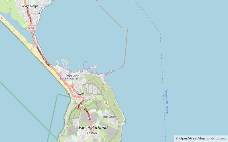
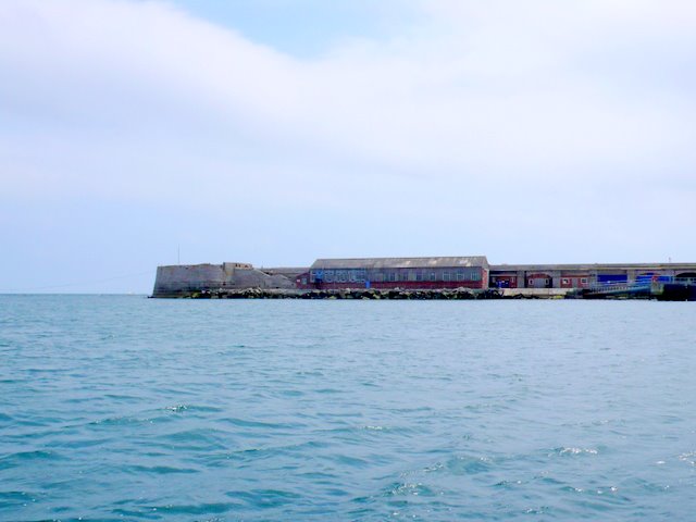
Inner Pierhead Fort is a 19th-century fort built to defend Portland Harbour at the Isle of Portland, Dorset, England. It is positioned on the end of the inner breakwater, which abuts from the former dockyard of HMNB Portland. The fort was constructed between 1859-1862, and is 100 ft in diameter. The inner breakwater, including the fort, became Grade II Listed in 1978. ()
Coordinates: 50°34'9"N, 2°25'20"W
Address
Isle of Portland
ContactAdd
Social media
Add
Day trips
Inner Pierhead Fort – popular in the area (distance from the attraction)
Nearby attractions include: Portland Castle, Portland Cenotaph, The Cove House Inn, Royal Navy Cemetery.
Frequently Asked Questions (FAQ)
Which popular attractions are close to Inner Pierhead Fort?
Nearby attractions include East Weare Battery, Isle of Portland (12 min walk), Portland Breakwater Fort, Weymouth (17 min walk), Royal Navy Cemetery, Isle of Portland (18 min walk), Verne Citadel, Isle of Portland (19 min walk).


