Park, Lewis and Harris
Map

Map

Facts and practical information
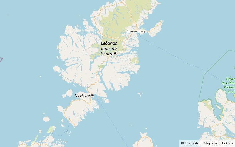
Park, also known as South Lochs, is a huge area of land connected to the rest of Lewis only by a narrow neck between Loch Seaforth and Loch Erisort. This had a wall called Gàrradh an Tighearna built across it by the Earl of Seaforth in the early 17th century, the outline of which can still be seen. ()
Coordinates: 58°0'0"N, 6°34'0"W
Address
Lewis and Harris
ContactAdd
Social media
Add
Day trips
Park – popular in the area (distance from the attraction)
Nearby attractions include: Eilean Liubhaird.

