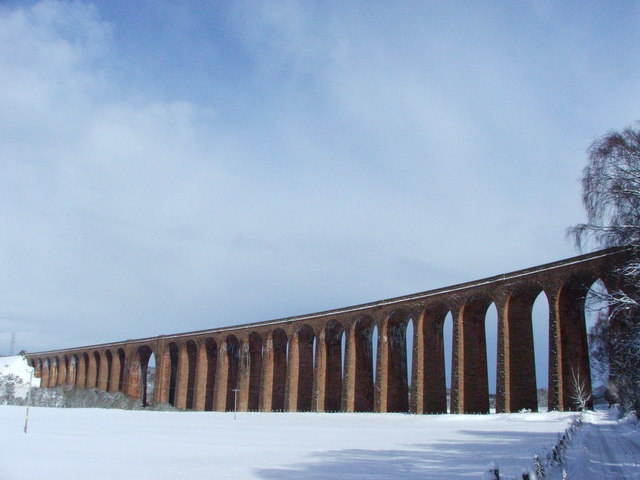
Culloden Viaduct, Culloden

Gallery (3)
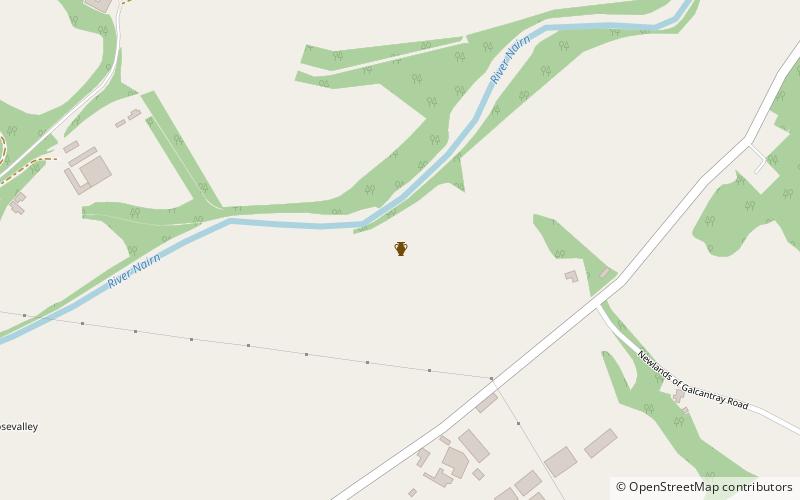
Map
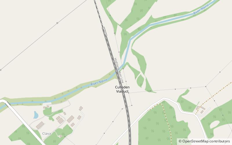
Map
Gallery
Facts and practical information
The Culloden Viaduct, known also as the Nairn Viaduct, the Culloden Moor Viaduct or the Clava Viaduct is a railway viaduct on the Highland Main Line, to the east of the city of Inverness, in the Highland council area of Scotland. ()
Day trips