Fortifications of Portsmouth, Portsmouth


Facts and practical information
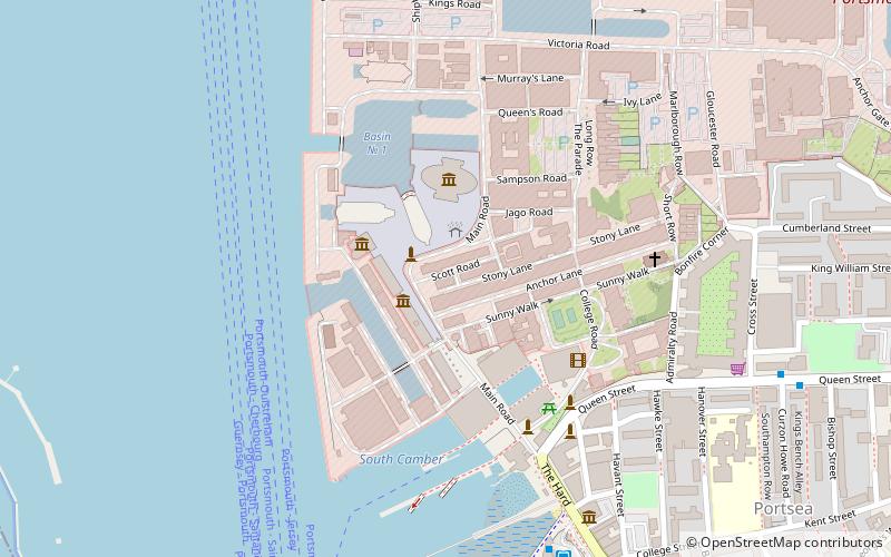
The fortifications of Portsmouth are extensive due to its strategic position on the English Channel and role as home to the Royal Navy. For this reason, Portsmouth was, by the 19th century, one of the most fortified cities in the world. The fortifications have evolved over the centuries in response to changes in tactics and technology and the area defended has increased. While the first defences focused on Portsmouth harbour, in step with the fortifications of Gosport, later defensive structures protected the whole of Portsea Island and an increasing distance inland. At the same time, the fortifications of Portsmouth and Gosport became part of the wider fortifications of the Solent. Old Portsmouth, on the southwest corner of Portsea Island, has been walled for much of its history. ()
Charles DickensPortsmouth
Fortifications of Portsmouth – popular in the area (distance from the attraction)
Nearby attractions include: Spinnaker Tower, Gunwharf Quays, Cascades Shopping Centre, Portsmouth War Memorial.
Frequently Asked Questions (FAQ)
Which popular attractions are close to Fortifications of Portsmouth?
How to get to Fortifications of Portsmouth by public transport?
Train
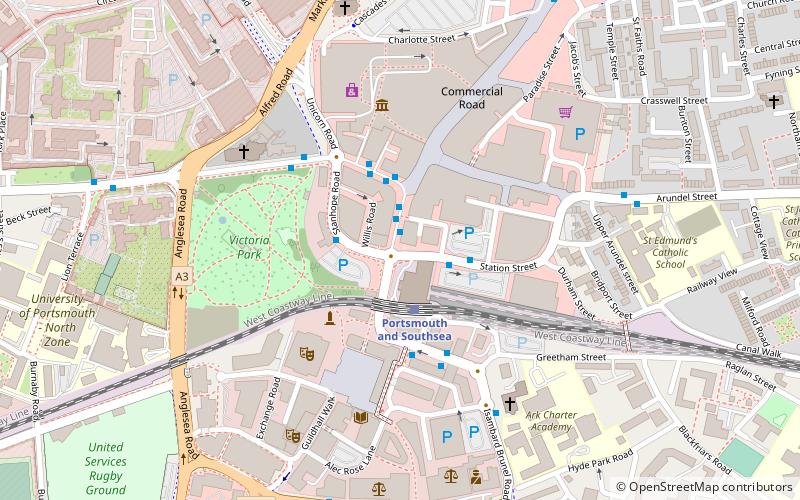
- Portsmouth and Southsea (2 min walk)
- Portsmouth Harbour (21 min walk)
Bus
- The Hard Interchange (18 min walk)
- Gosport Bus Station (31 min walk)
Ferry
- Portsmouth Car Ferry terminal • Lines: Portsmouth - Fishbourne (vehicle ferry) (21 min walk)
- Gosport Ferry Terminal • Lines: Gosport-Portsmouth Hard (29 min walk)


