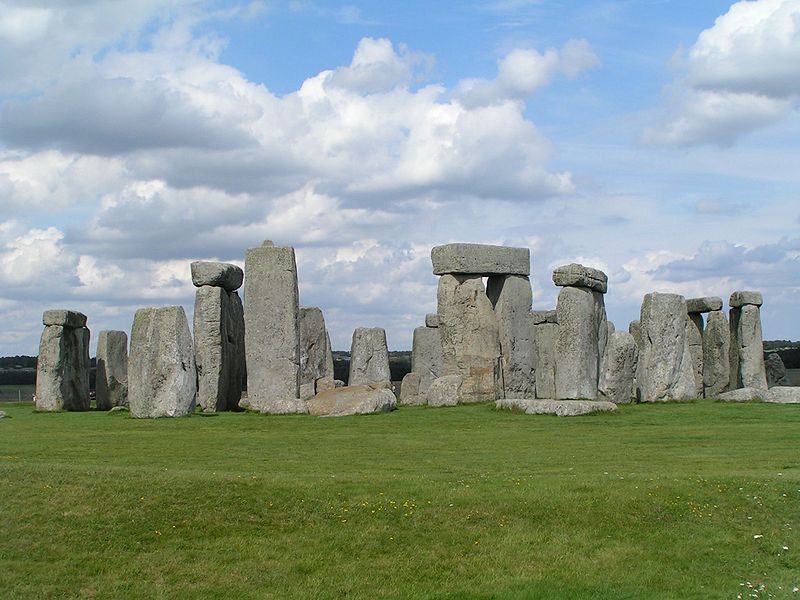
Salisbury Plain, Stonehenge
Map
Gallery

Facts and practical information
Salisbury Plain is a chalk plateau in the south western part of central southern England covering 300 square miles. It is part of a system of chalk downlands throughout eastern and southern England formed by the rocks of the Chalk Group and largely lies within the county of Wiltshire, but stretches into Hampshire. ()
Address
Stonehenge
ContactAdd
Social media
Add
Day trips
Salisbury Plain – popular in the area (distance from the attraction)
Nearby attractions include: Church of St Mary and St Melor, Bush Barrow, Normanton Down Barrows, North Wessex Downs.


