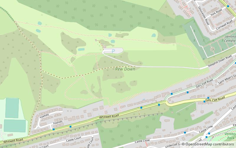
Rew Down, Isle of Wight
Map

Map

Facts and practical information
Rew Down is a 23.5-hectare biological Site of Special Scientific Interest and Local Nature Reserve located on the south-east edge of the Isle of Wight in the hills to the west of Ventnor. ()
Elevation: 509 ft a.s.l.Coordinates: 50°35'42"N, 1°13'27"W
Address
Isle of Wight
ContactAdd
Social media
Add
Day trips
Rew Down – popular in the area (distance from the attraction)
Nearby attractions include: Steephill Cove, Ventnor Botanic Garden, St Boniface Down, St Catherine's Church.
Frequently Asked Questions (FAQ)
Which popular attractions are close to Rew Down?
Nearby attractions include Ventnor Botanic Garden, Ventnor (10 min walk), Steephill Cove, Ventnor (12 min walk), Neil Williams Photography, Isle of Wight (19 min walk), St Catherine's Church, Ventnor (20 min walk).
How to get to Rew Down by public transport?
The nearest stations to Rew Down:
Bus
Bus
- Pine Point • Lines: 6 (4 min walk)
- Ventnor, Foxhills • Lines: 6 (6 min walk)


