Brereton Heath Local Nature Reserve, Sandbach
Map

Map

Facts and practical information
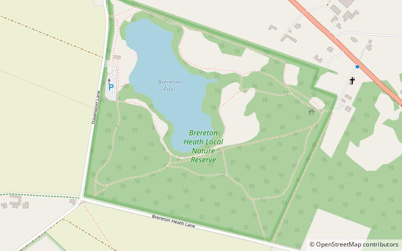
Brereton Heath Local Nature Reserve (address: Davenport Lane) is a place located in Sandbach (England kingdom) and belongs to the category of nature and wildlife, park, relax in park.
It is situated at an altitude of 243 feet, and its geographical coordinates are 53°10'58"N latitude and 2°18'14"W longitude.
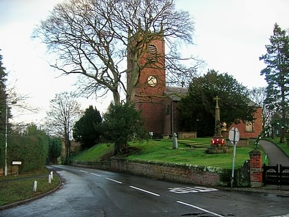
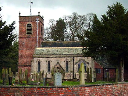
Among other places and attractions worth visiting in the area are: St Oswald's Church (church, 27 min walk), St. Peter's Church (church, 33 min walk), St Luke's Church, Holmes Chapel (church, 66 min walk).
Elevation: 243 ft a.s.l.Coordinates: 53°10'58"N, 2°18'14"W
Day trips
Brereton Heath Local Nature Reserve – popular in the area (distance from the attraction)
Nearby attractions include: Jodrell Bank Observatory, Old Hall, Sandbach Town Hall, Sandbach Crosses.


