Garstons Down, Isle of Wight

Map
Facts and practical information
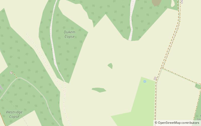
Garston's Down is an area of downland on the Isle of Wight, rising to an altitude of 151 m. It is located in the centre of the island, south of Carisbrooke and west of Gatcombe, and is one of the best remaining inland examples of unimproved chalk downland. An area of 20.3 hectares was notified as a Site of Special Scientific Interest in 1971 for its biological features. The down is situated in a remote area and provides extensive views over the surrounding countryside and distant coast. ()
Coordinates: 50°39'25"N, 1°20'6"W
Address
Isle of Wight
ContactAdd
Social media
Add
Day trips
Garstons Down – popular in the area (distance from the attraction)
Nearby attractions include: Northcourt Manor, St Peter's Church, Wolverton Manor, Chillerton Down transmitting station.
Frequently Asked Questions (FAQ)
How to get to Garstons Down by public transport?
The nearest stations to Garstons Down:
Bus
Bus
- Rowborough Farm • Lines: 12 (18 min walk)
- Cheverton Farm • Lines: 12 (19 min walk)


