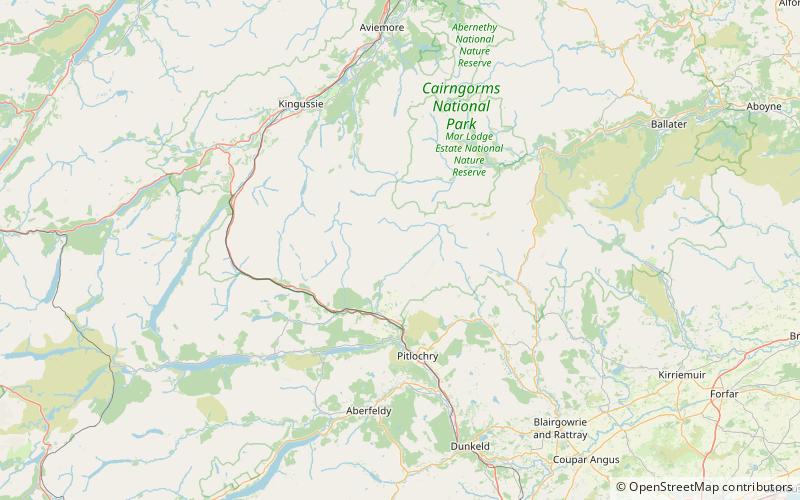
Carn a' Chlamain, Cairngorms National Park
Map

Map

Facts and practical information
Càrn a' Chlamain is a Scottish mountain situated roughly 12 kilometres north of Blair Atholl in the Forest of Atholl. It is the highest point of an undulating plateau lying northeast of Glen Tilt. The River Tarf, a tributary of the Tilt, rises on the northwestern slopes before curving round the northern side of the plateau, whilst a further Tilt tributary marks the plateau's western boundary. ()
Address
Cairngorms National Park
ContactAdd
Social media
Add
Day trips
Carn a' Chlamain – popular in the area (distance from the attraction)
Nearby attractions include: Loch Tilt, Falls of Tarf, An Sgarsoch, Carn an Fhidhleir.


