St Helen's
Map

Map

Facts and practical information
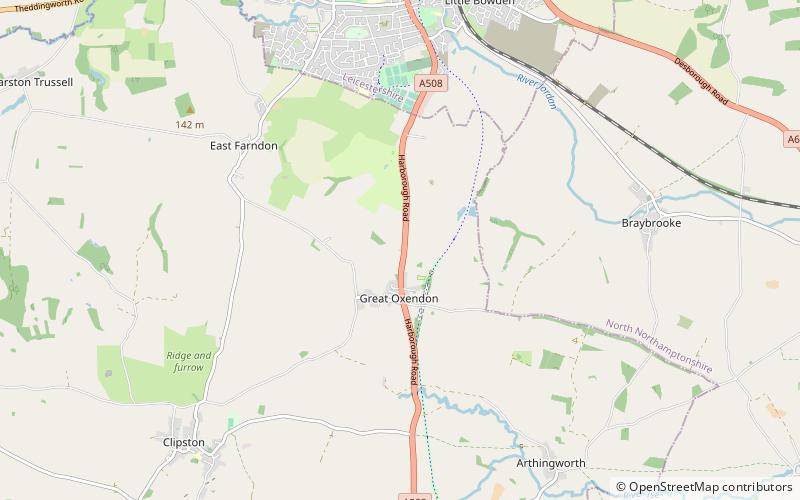
St Helen's Church is an Anglican Church and the parish church of Oxendon. It is a Grade II* listed building and stands on the west side of Harborough Road, to the north of the village of Great Oxendon. ()
Coordinates: 52°26'55"N, 0°55'9"W
Day trips
St Helen's – popular in the area (distance from the attraction)
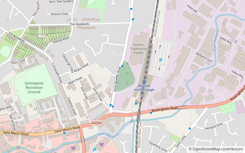
Nearby attractions include: Foxton Locks, Kelmarsh Hall, Market Harborough Library, Foxton Inclined Plane.


