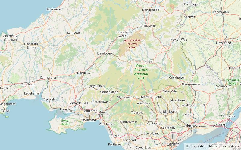
Cefn Cul, Brecon Beacons
Map

Map

Facts and practical information
Cefn Cul is a hill in the Fforest Fawr sector of the Brecon Beacons National Park in Powys, southern Wales. It is a broad north-northeast to south-southwest aligned ridge whose summit reaches a height of 562 m above sea level. The hill is bounded to the west by the upper valley of the River Tawe though which the old Trecastle road runs whilst to the east is the pass of Bwlch Bryn-rhudd over which the A4067 road runs from the Crai valley south to that of the Tawe. ()
Coordinates: 51°52'21"N, 3°39'19"W
Address
Brecon Beacons
ContactAdd
Social media
Add
Day trips
Cefn Cul – popular in the area (distance from the attraction)
Nearby attractions include: Dan-yr-Ogof, Llyn y Fan Fawr, Fan Brycheiniog, Picws Du.


