Mansfield Road Baptist Church, Nottingham
Map

Gallery

Facts and practical information
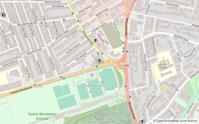
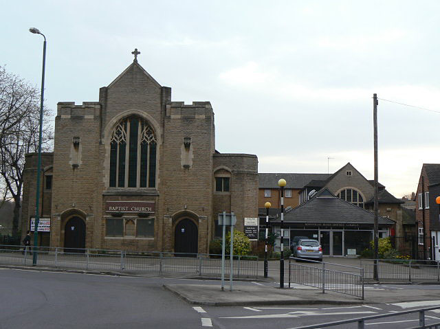
Mansfield Road Baptist Church is at the junction of Gregory Boulevard and Sherwood Rise in Nottingham. ()
Completed: 1913 (113 years ago)Coordinates: 52°58'6"N, 1°9'22"W
Day trips
Mansfield Road Baptist Church – popular in the area (distance from the attraction)
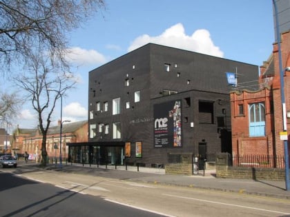
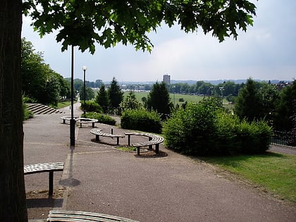
Nearby attractions include: Victoria Centre, New Art Exchange, Forest Recreation Ground, The Arboretum.
Frequently Asked Questions (FAQ)
Which popular attractions are close to Mansfield Road Baptist Church?
Nearby attractions include Juggernaut of Nought, Nottingham (5 min walk), Church Cemetery, Nottingham (6 min walk), Forest Recreation Ground, Nottingham (7 min walk), St Andrew's Church, Nottingham (7 min walk).
How to get to Mansfield Road Baptist Church by public transport?
The nearest stations to Mansfield Road Baptist Church:
Bus
Tram
Bus
- Clarendon College • Lines: 141, 15, 16, 17, 3A, 3B, 3C, 56, 57, 58, 59, 87, 88, 89, 89A, Calverton Connection, Pronto, Sa (3 min walk)
- Forest Recreation Ground • Lines: 141, 15, 16, 17, 3A, 3B, 3C, 56, 57, 58, 59, 68, 68A, 69, 69A, 70, 71, 87, 88, 89, 89A, Calverton Connection, N58, N68, N89, Pronto, Sa (4 min walk)
Tram
- High School • Lines: 1, 2 (12 min walk)
- The Forest • Lines: 1, 2 (13 min walk)


