St Brigid's Church, Kilbirnie

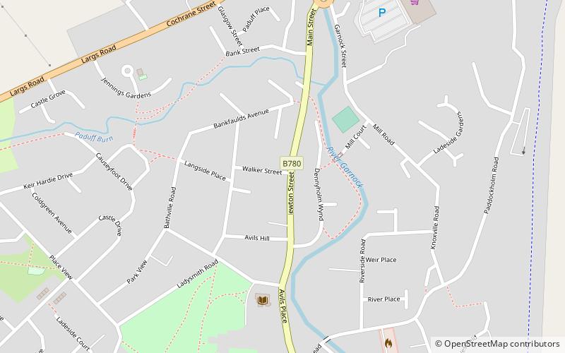
Map
Facts and practical information
St Brigid's is the church for the Roman Catholic Parish of Kilbirnie, in the Diocese of Galloway in North Ayrshire, Scotland. ()
Coordinates: 55°45'9"N, 4°41'11"W
Day trips
St Brigid's Church – popular in the area (distance from the attraction)
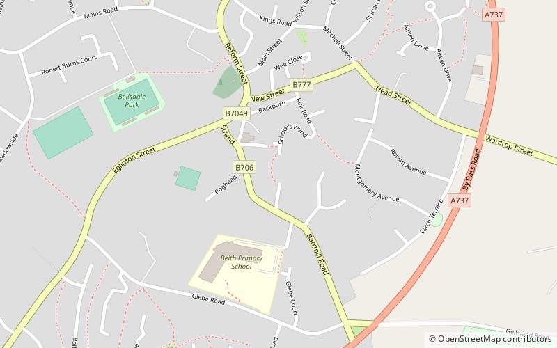
Nearby attractions include: Barr Castle, Kilbirnie Auld Kirk, Beith Parish Churches, Cleeves Cove.
Frequently Asked Questions (FAQ)
Which popular attractions are close to St Brigid's Church?
Nearby attractions include Kilbirnie Loch, Kilbirnie (6 min walk), Kilbirnie Auld Kirk, Kilbirnie (11 min walk).


