Mynydd Illtud, Brecon Beacons
Map

Gallery

Facts and practical information
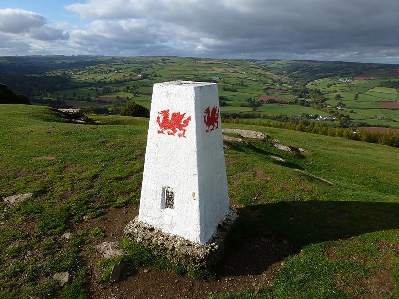
Mynydd Illtud is an extensive area of common land near Libanus, Powys, Wales, located in the Brecon Beacons National Park and some three miles south-west of Brecon. The common is an undulating plateau lying between 330 and 370 metres above sea level. Its highest points are 381 metres at Allt Lom and 367 metres at Twyn y Gaer trig point overlooking the valley of the River Usk. Twyn y Gaer is the site of an Iron Age hill fort. ()
Coordinates: 51°56'30"N, 3°28'15"W
Address
Brecon Beacons
ContactAdd
Social media
Add
Day trips
Mynydd Illtud – popular in the area (distance from the attraction)
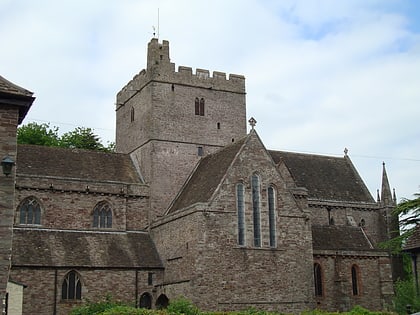
Nearby attractions include: Brecon Cathedral, St Mary's Church, Theatr Brycheiniog, Y Gaer.


