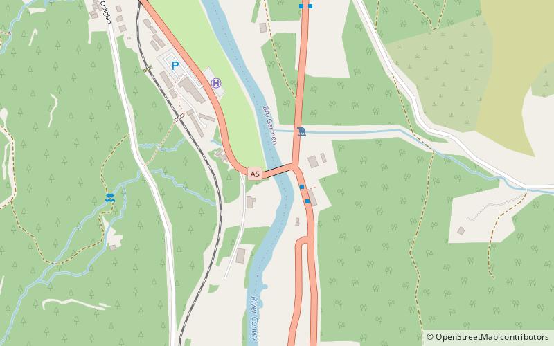
Waterloo Bridge, Betws-y-Coed
Map

Map

Facts and practical information
Waterloo Bridge is an early cast iron bridge, spanning the River Conwy at Betws-y-Coed, in Conwy county borough, north-west Wales. ()
Completed: 1815 (211 years ago)Coordinates: 53°5'7"N, 3°47'43"W
Day trips
Waterloo Bridge – popular in the area (distance from the attraction)
Nearby attractions include: Llyn Elsi, Conwy Valley Railway Museum, St Mary's Church, St Garmon's Church.
Frequently Asked Questions (FAQ)
Which popular attractions are close to Waterloo Bridge?
Nearby attractions include St Mary's Church, Betws-y-Coed (14 min walk), Platform Galeri, Betws-y-Coed (15 min walk), Conwy Valley Railway Museum, Betws-y-Coed (15 min walk), Galeri, Betws-y-Coed (21 min walk).
How to get to Waterloo Bridge by public transport?
The nearest stations to Waterloo Bridge:
Bus
Train
Bus
- Waterloo Bridge • Lines: 19 (2 min walk)
- Bron-haul • Lines: 19 (16 min walk)
Train
- Betws-y-Coed (15 min walk)


