Abbey Fields, Kenilworth
Map

Map

Facts and practical information
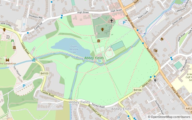
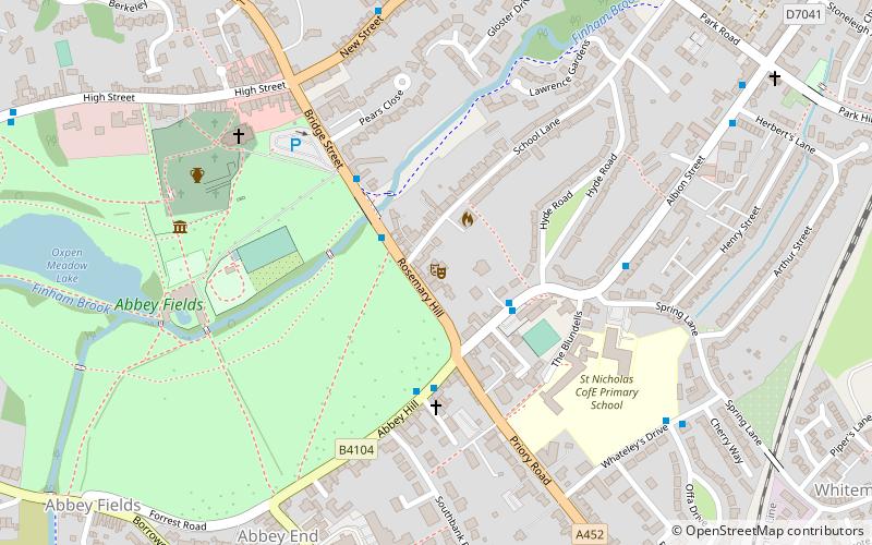
Abbey Fields is a 68-acre park that is found in the centre of Kenilworth, Warwickshire, England. The park was once farmland belonging to St Mary's Abbey, which was dissolved in the middle of the sixteenth century and is now ruined. St Nicholas Church, with origins from the twelfth century, remains in the park. ()
Elevation: 256 ft a.s.l.Coordinates: 52°20'50"N, 1°35'1"W
Day trips
Abbey Fields – popular in the area (distance from the attraction)
Nearby attractions include: Kenilworth Castle, Priory Theatre, St Mary's Abbey, St Nicholas Church.
Frequently Asked Questions (FAQ)
Which popular attractions are close to Abbey Fields?
Nearby attractions include St Mary's Abbey, Kenilworth (3 min walk), St Nicholas Church, Kenilworth (4 min walk), Priory Theatre, Kenilworth (6 min walk), Kenilworth Castle, Kenilworth (7 min walk).


