Ben Donich, Loch Lomond and The Trossachs National Park

Gallery (1)
Map
Map
Facts and practical information
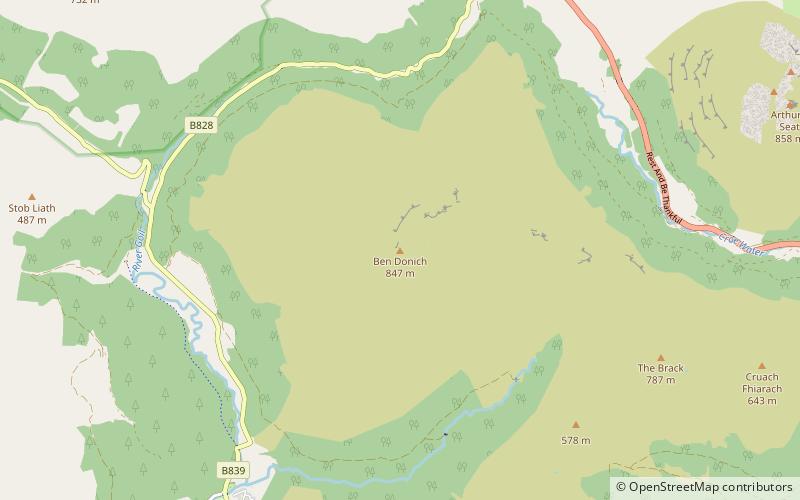
Ben Donich or Beinn Dòmhnaich is a mountain located in the Arrochar Alps, near Loch Goil in Argyll and Bute. It is a Corbett and part of the Ardgoil range with its sister The Brack. The closest settlement to Ben Donich is the village of Lochgoilhead. ()
Elevation: 2776 ftProminence: 1841 ftCoordinates: 56°11'53"N, 4°52'24"W
Address
Loch Lomond and The Trossachs National Park
ContactAdd
Social media
Add
Day trips


