Kirk Dam, Isle of Bute
Map

Map

Facts and practical information
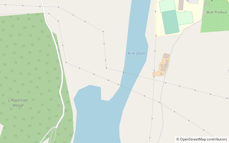
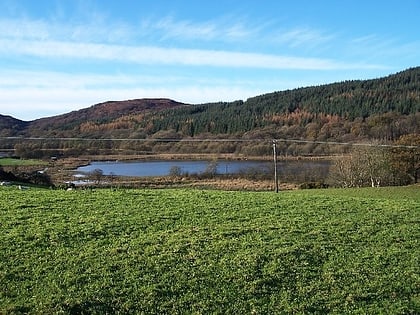
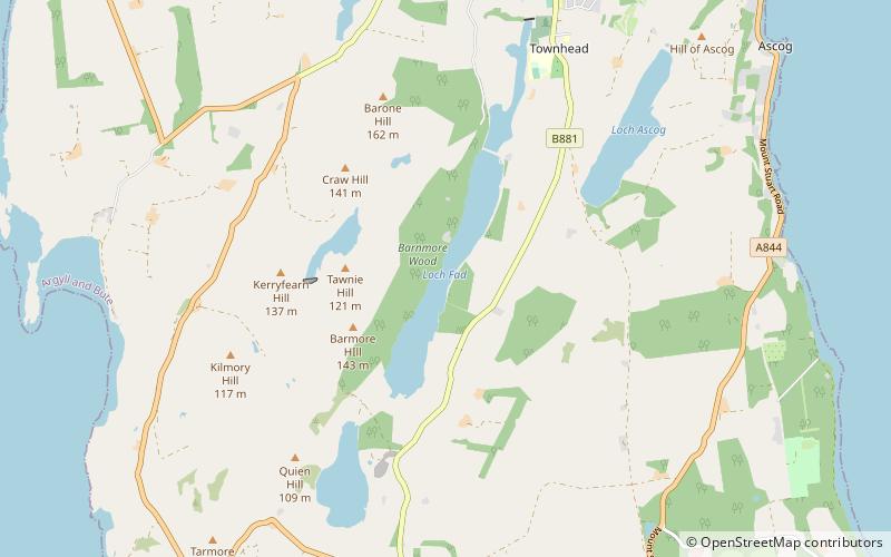
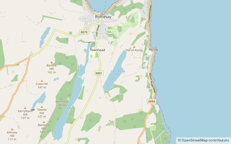
Kirk Dam is an impounding dam, located 1.5 kilometres south of Rothesay, and is separated by a causeway from the much larger Loch Fad to the south-west. It was built to provide water to the cotton mills of the town, and is now the habitat for a variety of marshland birds. The earthfill dam is 6 metres high and records show it was constructed in the late 18th century. ()
Built: XVIII centuryElevation: 52 ft a.s.l.Coordinates: 55°49'19"N, 5°3'49"W
Day trips
Kirk Dam – popular in the area (distance from the attraction)
Nearby attractions include: Rothesay Castle, Bute Museum, Loch Fad, West Island Way.


