Greyhound Bridge, Lancaster
Map

Map

Facts and practical information
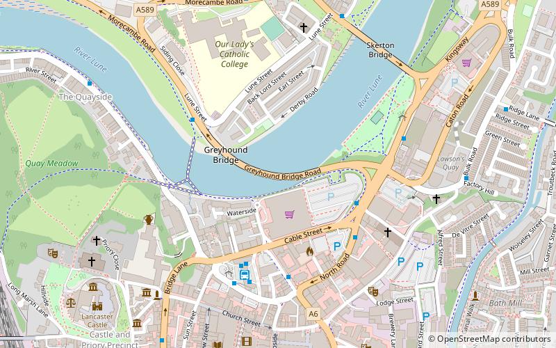
The Greyhound Bridge is a road-connection spanning the River Lune as it runs through Lancaster, England. It serves as the primary route northwards, on account of a one-way system that directs all southbound traffic over Skerton Bridge. Originally built to carry a railway, it is the third bridge to stand on the present site and lies between the Lune Millennium Bridge and Skerton Bridge. ()
Opened: 1911 (115 years ago)Coordinates: 54°3'8"N, 2°47'59"W
Day trips
Greyhound Bridge – popular in the area (distance from the attraction)
Nearby attractions include: Lancaster Castle, Lancaster Cathedral, Lancaster Priory, Judges' Lodgings.
Frequently Asked Questions (FAQ)
Which popular attractions are close to Greyhound Bridge?
Nearby attractions include Lune Millennium Bridge, Lancaster (3 min walk), St John's, Lancaster (4 min walk), Grand Theatre, Lancaster (6 min walk), Skerton Bridge, Lancaster (6 min walk).
How to get to Greyhound Bridge by public transport?
The nearest stations to Greyhound Bridge:
Bus
Train
Bus
- Sainsbury's Layby • Lines: 1, 100, 1A, 2X, 40, 41, 49, 55, 555, 582, 6A, 7, 8, 80, 81, 81A, 81B, 81G, 881 (3 min walk)
- Bus Station • Lines: 1, 100, 1A, 2X, 4, 40, 40A, 41, 42, 487, 4X, 6A (4 min walk)
Train
- Lancaster (11 min walk)


