Scratchbury Camp
Map
Gallery

Facts and practical information
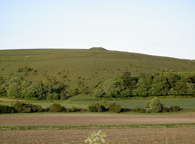
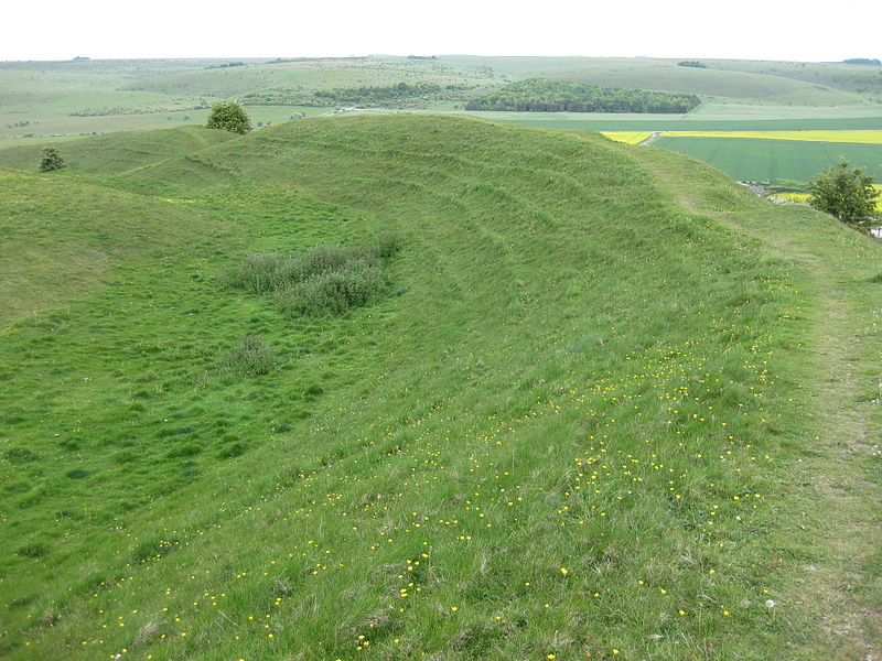
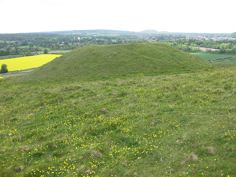
Scratchbury Camp is the site of an Iron Age univallate hillfort on Scratchbury Hill, overlooking the Wylye valley about 1 km northeast of the village of Norton Bavant in Wiltshire, England. The fort covers an area of 37 acres and occupies the summit of the hill on the edge of Salisbury Plain, with its four-sided shape largely following the natural contours of the hill. ()
Coordinates: 51°11'51"N, 2°7'42"W
Location
England
ContactAdd
Social media
Add
Day trips
Scratchbury Camp – popular in the area (distance from the attraction)
Nearby attractions include: Westbury White Horse, Warminster Town Park, St Denys' Church, St Giles' Church.


