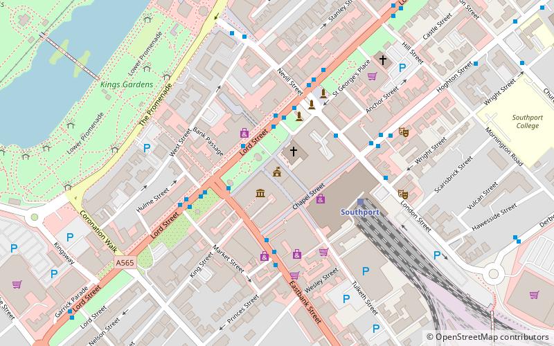
Southport Town Hall, Southport
Map

Map

Facts and practical information
Southport Town Hall is on the east side of Lord Street, Southport, Sefton, Merseyside, England. It was built in 1852–53 in Palladian style, and extended to the rear on three occasions later in the century. The town hall has a symmetrical stuccoed façade with a central staircase leading up to a porch flanked by columns. At the top of the building is a pediment with a carved tympanum. The town hall is recorded in the National Heritage List for England as a designated Grade II listed building. ()
Built: 1852 (174 years ago)Coordinates: 53°38'51"N, 3°0'19"W
Address
Southport
ContactAdd
Social media
Add
Day trips
Southport Town Hall – popular in the area (distance from the attraction)
Nearby attractions include: Pleasureland Southport, Lord Street, Wayfarers Arcade, Marine Way Bridge.
Frequently Asked Questions (FAQ)
Which popular attractions are close to Southport Town Hall?
Nearby attractions include Southport Arts Centre, Southport (1 min walk), The Atkinson, Southport (1 min walk), Southport War Memorial, Southport (3 min walk), Southport & District Reform Synagogue, Southport (5 min walk).
How to get to Southport Town Hall by public transport?
The nearest stations to Southport Town Hall:
Train
Bus
Train
- Southport (3 min walk)
- Southport Princes Park (10 min walk)
Bus
- Lord St/Bold St/Stop Fa • Lines: 347 (7 min walk)
- Albert Road/Manchester Road • Lines: 347 (16 min walk)


