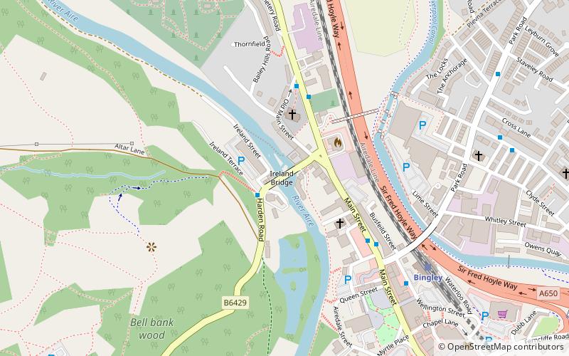
Ireland Bridge, Bradford
Map

Map

Facts and practical information
Bingley's Ireland Bridge is a Grade II* listed structure and a historically significant crossing point over the River Aire in West Yorkshire, England. It is now the main route between Bingley & the nearby villages of Harden, Wilsden & Cullingworth. ()
Opened: 1686 (340 years ago)Coordinates: 53°51'1"N, 1°50'29"W
Day trips
Ireland Bridge – popular in the area (distance from the attraction)
Nearby attractions include: Bingley Five Rise Locks, Bingley St Ives, Bingley Three Rise Locks, Myrtle Grove.
Frequently Asked Questions (FAQ)
Which popular attractions are close to Ireland Bridge?
Nearby attractions include Church of All Saints, Bradford (2 min walk), Bingley Three Rise Locks, Bradford (4 min walk), Myrtle Grove, Cullingworth (7 min walk), Bingley, Bradford (7 min walk).
How to get to Ireland Bridge by public transport?
The nearest stations to Ireland Bridge:
Train
Train
- Bingley (6 min walk)
- Crossflatts (15 min walk)


