Cemais Is Nyfer, Newport
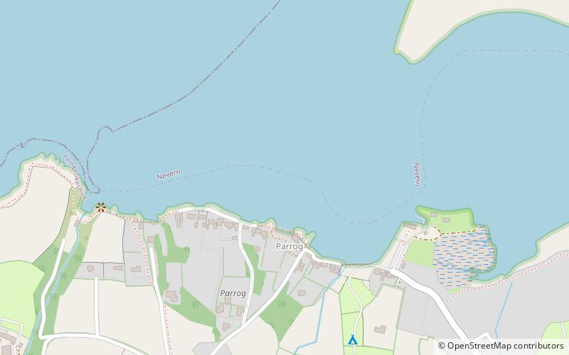
Map
Facts and practical information
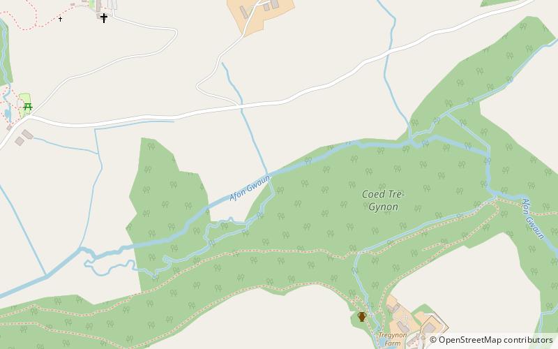
Cemais Is Nyfer was a mediaeval commote in the Dyfed cantref of Cemais, Wales. It consisted of the territory between the rivers Nyfer and Teifi, and comprised the parishes of Eglwyswrw, Monington, St. Dogmaels, Llanfair-Nant-Gwyn, Llantood, Moylgrove and Bayvil, and parts of Nevern and Meline in what is now Pembrokeshire. Its area was about 100 km2 and its civil and ecclesiastical headquarters were at Nevern. ()
Coordinates: 52°1'21"N, 4°50'41"W
Address
Newport
ContactAdd
Social media
Add
Day trips
Cemais Is Nyfer – popular in the area (distance from the attraction)
Nearby attractions include: Castell Henllys, Waun Mawn, Pentre Ifan, Cwm Dewi.

