Oxford Canal, Coventry
Map
Gallery
Facts and practical information
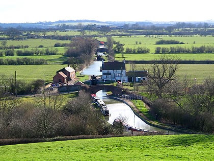
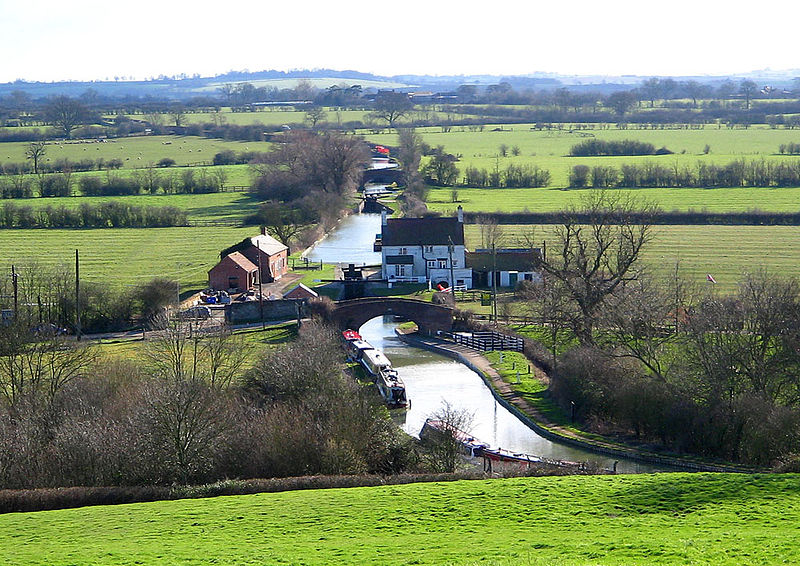
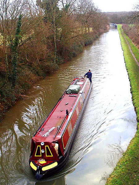
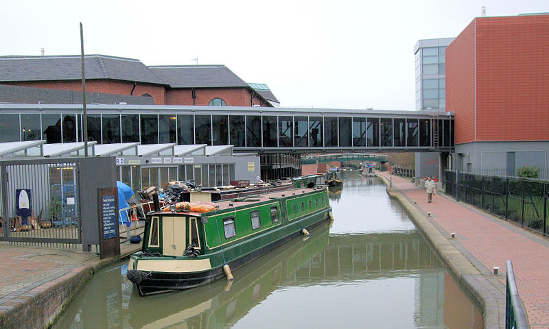
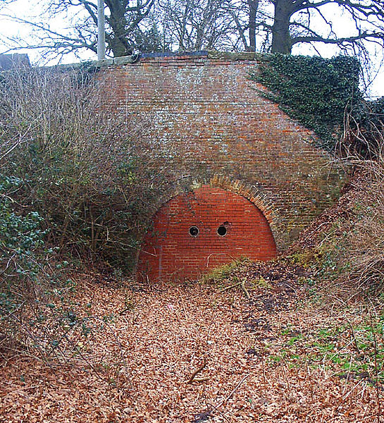
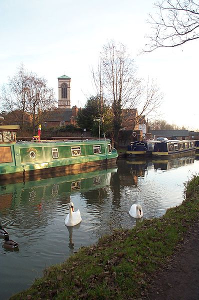
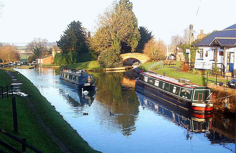
The Oxford Canal is a 78-mile narrow canal in central England linking Oxford with Bedworth via Banbury and Rugby. Completed in 1790, it connects to the River Thames at Oxford and is integrated with the Grand Union Canal—combined for 5 miles close to the villages of Braunston and Napton-on-the-Hill, a canal which soon after construction superseded much of its traffic. ()
Day trips
Oxford Canal – popular in the area (distance from the attraction)
Nearby attractions include: Coventry Building Society Arena, Arena Park Shopping Centre, Hawkesbury Junction, Moat House Children's Centre.
Frequently Asked Questions (FAQ)
How to get to Oxford Canal by public transport?
The nearest stations to Oxford Canal:
Bus
Bus
- Aldermans Green Rd / M6 Bridge • Lines: 20C (3 min walk)
- Aldermans Green Rd / Jacker'S Rd • Lines: 22 (7 min walk)
