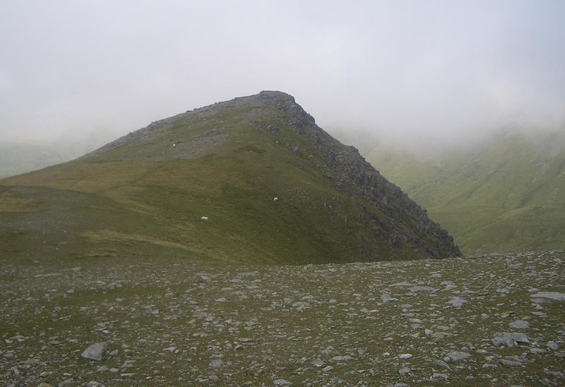
Foel Meirch, Snowdonia National Park

Gallery (2)
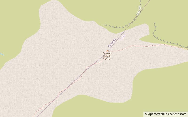
Map
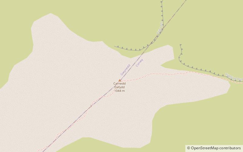
Map
Gallery
Facts and practical information
Foel Meirch is a top of Carnedd Dafydd in the Carneddau range in Snowdonia, North Wales. It offers commanding views of Carnedd Llewelyn and Yr Elen, and the Ysgolion Duon Cliffs. ()
Elevation: 2625 ftProminence: 49 ftCoordinates: 53°8'50"N, 4°0'7"W
Address
Snowdonia National Park
ContactAdd
Social media
Add
Day trips


Frequently Asked Questions (FAQ)
Which popular attractions are close to Foel Meirch?
Nearby attractions include Carnedd Dafydd, Snowdonia National Park (2 min walk), Welsh 1000 m Peaks Race, Snowdonia National Park (2 min walk), Ffynnon Lloer, Snowdonia National Park (15 min walk), Pen yr Ole Wen, Snowdonia National Park (20 min walk).