St. Pauls, Cheltenham
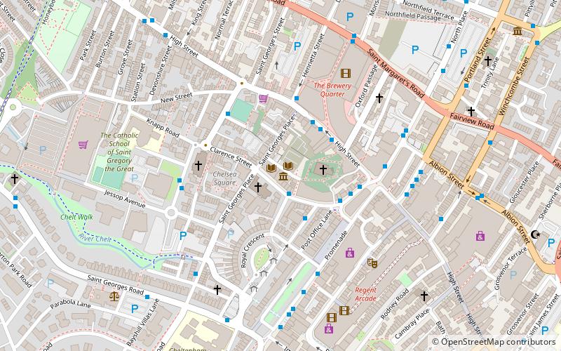
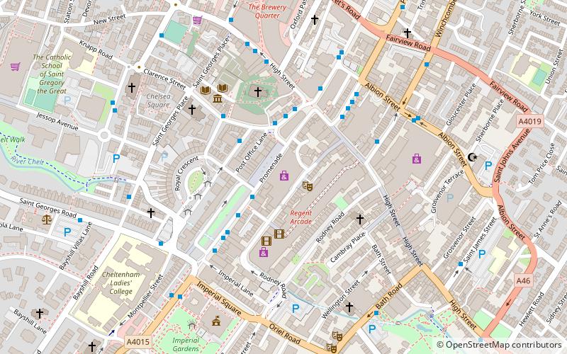
Map

Map

Facts and practical information
St. Pauls is one of a number of areas of the Cotswold town of Cheltenham, Gloucestershire, England. St. Pauls is home to the Francis Close Hall, a campus of the University of Gloucestershire, St. Paul's Church, and many leisure facilities. Numerous stories exist of the gallows that were once housed there when the area was characterized by fields rather than housing. ()
Coordinates: 51°54'5"N, 2°4'40"W
Day trips
St. Pauls – popular in the area (distance from the attraction)
Nearby attractions include: Sandford Parks Lido, Whaddon Road, Cavendish House, The Wilson.
Frequently Asked Questions (FAQ)
Which popular attractions are close to St. Pauls?
Nearby attractions include Cheltenham Minster, Cheltenham (2 min walk), St Gregory's Church, Cheltenham (3 min walk), Chapel Arts, Cheltenham (4 min walk), Cheltenham Synagogue, Cheltenham (4 min walk).
How to get to St. Pauls by public transport?
The nearest stations to St. Pauls:
Train
Train
- Cheltenham Spa (26 min walk)


