Spon Street, Coventry
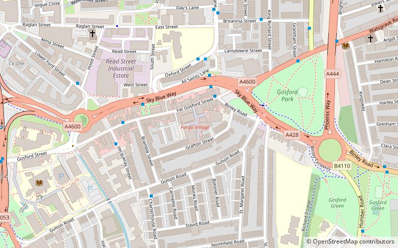
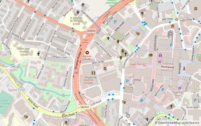
Map
Gallery
Facts and practical information
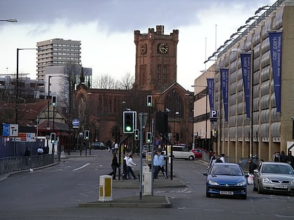
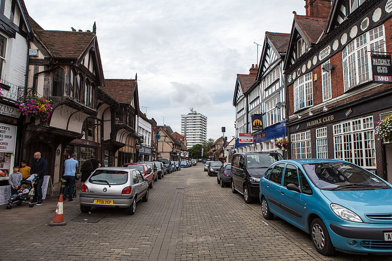
Spon Street is an historic street in central Coventry, in the West Midlands of England. The street was once part of a route that ran from Gosford to Birmingham – a route which remained intact until the 1960s. During the construction of Coventry's Inner Ring Road, built to relieve traffic on the narrow city centre streets, Spon Street was cut in half and the route severed. ()
Coordinates: 52°24'30"N, 1°31'3"W
Day trips
Spon Street – popular in the area (distance from the attraction)
Nearby attractions include: Coventry Cathedral, Butts Park Arena, St Michael's Victory over the Devil, SkyDome Arena.
Frequently Asked Questions (FAQ)
Which popular attractions are close to Spon Street?
Nearby attractions include St John the Baptist Church, Coventry (3 min walk), Belgrade Theatre, Coventry (5 min walk), Vignoles Bridge, Coventry (5 min walk), St Osburg's Church, Coventry (6 min walk).
How to get to Spon Street by public transport?
The nearest stations to Spon Street:
Bus
Train
Bus
- Vr3 • Lines: 1, 14, 17, 17A, 18, 18A, 19, 2, 21, 21A, 87, 87A, 9, X18 (3 min walk)
- Cr1 • Lines: 47 (4 min walk)
Train
- Coventry (14 min walk)
