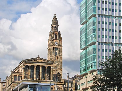
St. Vincent Street, Glasgow
Map
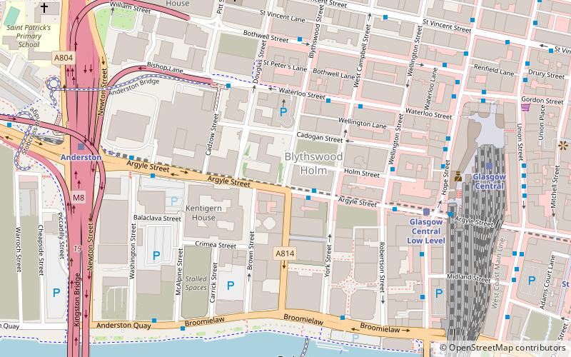
Map

Facts and practical information
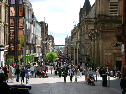
St. Vincent Street, is one of the major streets in the city centre of Glasgow, Scotland. It was formed in the early 1800s as part of the residential New Town of Blythswood developed by William Harley of Blythswood Square. St. Vincent Street was named to commemorate the victory of Sir John Jervis, on 15 February 1797, off Cape Saint Vincent, Portugal. when the Royal Navy defeated the Spanish fleet which was on its way to join Napoleon's French fleet. ()
Coordinates: 55°51'33"N, 4°15'50"W
Address
City Centre (Anderston)Glasgow
ContactAdd
Social media
Add
Day trips
St. Vincent Street – popular in the area (distance from the attraction)
Nearby attractions include: Buchanan Street, Sub Club, The Lighthouse, Princes Square.
Frequently Asked Questions (FAQ)
Which popular attractions are close to St. Vincent Street?
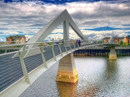
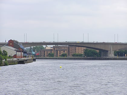
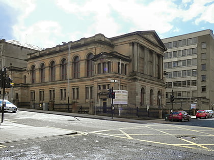
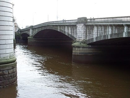
Nearby attractions include Argyle Building, Glasgow (4 min walk), Broomielaw, Glasgow (5 min walk), Tradeston Bridge, Glasgow (5 min walk), Anderston Centre, Glasgow (6 min walk).
How to get to St. Vincent Street by public transport?
The nearest stations to St. Vincent Street:
Bus
Train
Metro
Bus
- Waterloo Street / West Campbell Street • Lines: 500 (3 min walk)
- Argyle Street / Robertson Street • Lines: c1 (4 min walk)
Train
- Glasgow Central Low Level (5 min walk)
- Glasgow Central (7 min walk)
Metro
- St Enoch • Lines: Subway (10 min walk)
- Buchanan Street • Lines: Subway (12 min walk)

