Nethermost Pike
Map

Gallery
Facts and practical information
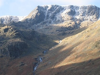
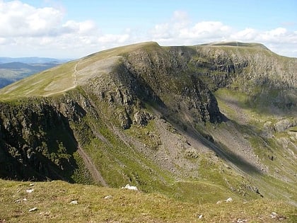
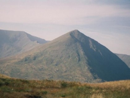
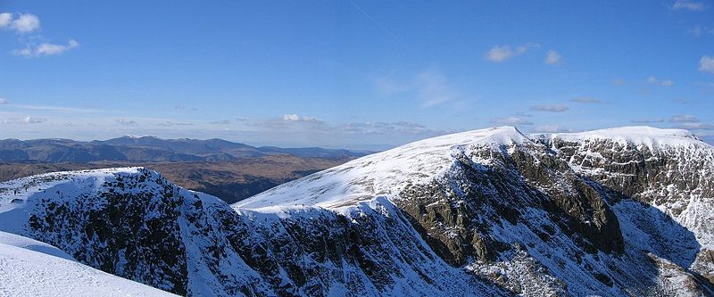
Nethermost Pike is a fell in Cumbria, England, and a part of the Lake District. At 891 metres it is the second highest Wainwright in the Helvellyn range, the highest of which is Helvellyn itself. It is located close to the southern end of the ridge, with Helvellyn to the north, and High Crag and Dollywaggon Pike to the south. Nethermost Pike, along with many of the Eastern Fells, lies between Thirlmere in the west and the Ullswater catchment in the east. The closest villages are Glenridding and Patterdale on the shores of Ullswater, over 8 kilometres away. ()
Elevation: 2923 ftProminence: 72 ftCoordinates: 54°31'6"N, 3°0'53"W
Location
England
ContactAdd
Social media
Add
Day trips
Nethermost Pike – popular in the area (distance from the attraction)
Nearby attractions include: Helvellyn, Red Tarn, High Crag, Catstye Cam.
