Sgùrr Dhòmhnuill

Gallery (1)
Map
Map
Facts and practical information
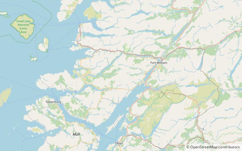
Sgurr Dhòmhnuill or Sgurr Dhòmhnaill is a mountain in western Scotland. The summit lies about 10 kilometres northeast of Strontian. Although less than Munro-height, it is one of Britain's biggest mountains in terms of height above sea level, since it is the highest peak on the Ardgour peninsula. ()
Elevation: 2913 ftProminence: 2864 ftCoordinates: 56°45'18"N, 5°27'14"W
Location
Scotland
ContactAdd
Social media
Add
Day trips


