Beacon Fell, Goosnargh

Gallery (3)
Map
Map
Gallery
Facts and practical information
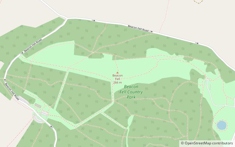
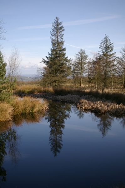
Beacon Fell is a fell in the civil parish of Goosnargh in Lancashire, England. The high ground, which rises to 266 m, has been a country park since 1970. It is situated within the south westerly part of the Forest of Bowland, an Area of Outstanding Natural Beauty. ()
Elevation: 873 ftCoordinates: 53°52'49"N, 2°39'30"W
Day trips


