Castell Cawr, Abergele
Map

Map

Facts and practical information
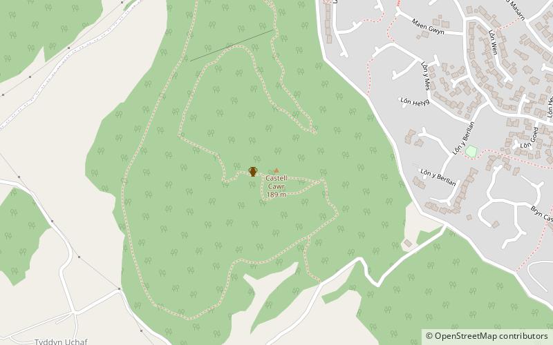
Castell Cawr, or Tan-y-Gopa as it is known locally, is a heavily forested hill above the town of Abergele in Conwy county borough, Wales. On it is found the Iron Age hillfort of Castell Cawr, which overlooks the River Clwyd. Rare lesser horseshoe bats inhabit caves on the hill. The woods are owned by the Woodland Trust. The hill rises to 189 m above sea level, with extensive views to Snowdonia and the Clwydian Range. ()
Coordinates: 53°16'36"N, 3°35'49"W
Address
Abergele
ContactAdd
Social media
Add
Day trips
Castell Cawr – popular in the area (distance from the attraction)
Nearby attractions include: Bodelwyddan Castle, Abergele Golf Club, Gwrych Castle, Eirias Park.


