Looe Estuary, Looe

Map
Facts and practical information
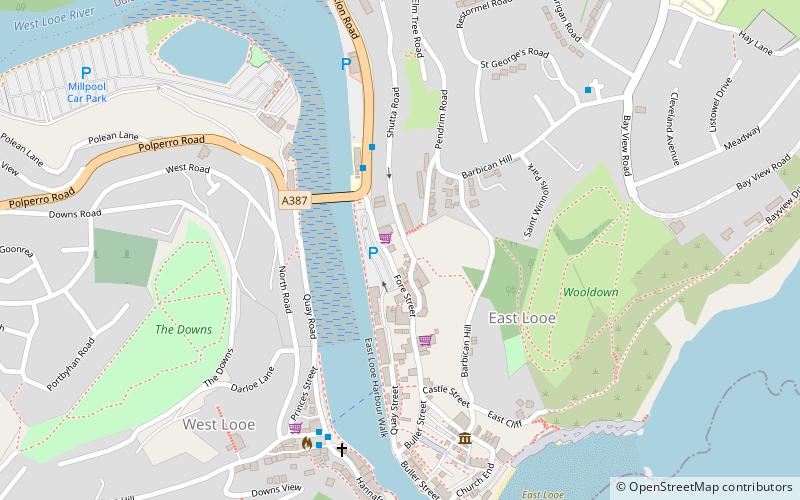
The Looe Estuary is an estuary in the southeastern part of Cornwall in south-west England, which leads to the mouth of the River Looe in Looe Bay. The town of Looe sits on the west and east side of the estuary. ()
Coordinates: 50°21'20"N, 4°27'16"W
Address
Looe
ContactAdd
Social media
Add
Day trips
Looe Estuary – popular in the area (distance from the attraction)
Nearby attractions include: Adrenalin Quarry, Sclerder Abbey, Monkey Sanctuary, St Ildierna's Church.
Frequently Asked Questions (FAQ)
Which popular attractions are close to Looe Estuary?
Nearby attractions include St Mary's Church, Looe (4 min walk), St Nicholas' Church, Looe (5 min walk), Banjo Pier, Looe (9 min walk).


