Loch Voil, Loch Lomond and The Trossachs National Park
Map

Map

Facts and practical information
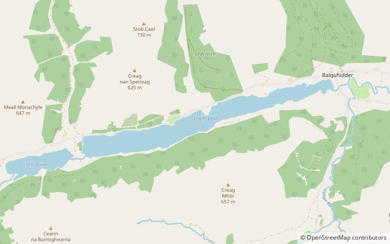
Loch Voil is a small freshwater loch that lies to the west of Balquhidder in the Stirling council area of Scotland. It is a short, narrow loch. It is separated from Loch Doine by fluvial deposits from the Monachyle Burn and is drained at its eastern end by the River Balvag at Balquhidder. The Loch can be reached by a small single track road from Balquhidder leading to Inverlochlarig. ()
Alternative names: Length: 3.48 miWidth: 1312 ftMaximum depth: 98 ftElevation: 423 ft a.s.l.Coordinates: 56°20'53"N, 4°25'23"W
Address
Loch Lomond and The Trossachs National Park
ContactAdd
Social media
Add
Day trips
Loch Voil – popular in the area (distance from the attraction)
Nearby attractions include: Ben More, Glen Ogle, Stob Binnein, Lochan Saorach.


