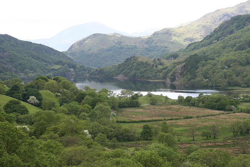
Nant Gwynant, Snowdonia National Park
Map

Gallery

Facts and practical information
Nant Gwynant is a valley in north Wales. The A498 road descends 600 feet into the valley in about two miles from Pen-y-Gwryd; it follows the Nant Cynnyd, the Afon Glaslyn and alongside Llyn Gwynant, then beside the Nant Gwynant river to Llyn Dinas and passing below Dinas Emrys to Beddgelert. The road continues through the Aberglaslyn Pass to Porthmadog. ()
Coordinates: 53°2'15"N, 4°2'50"W
Address
Snowdonia National Park
ContactAdd
Social media
Add
Day trips
Nant Gwynant – popular in the area (distance from the attraction)
Nearby attractions include: Snowdon, Clogwyn Du'r Arddu, Glaslyn, Llyn Llydaw.


