Crook Peak
Map

Gallery

Facts and practical information
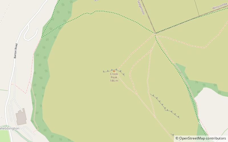
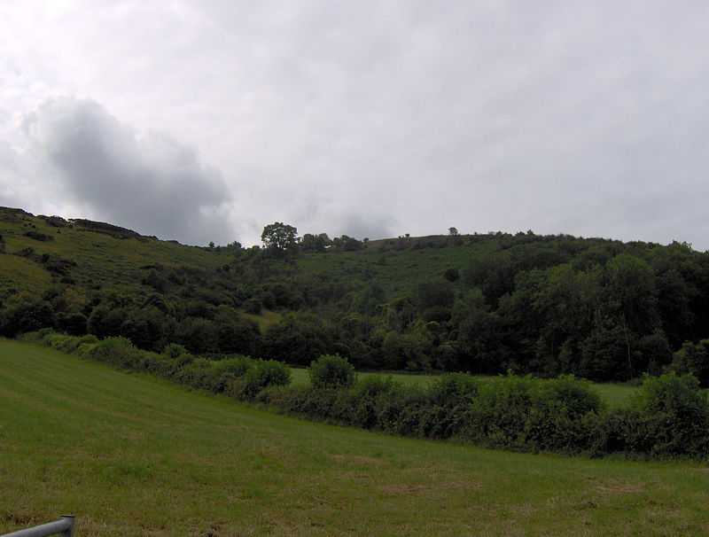
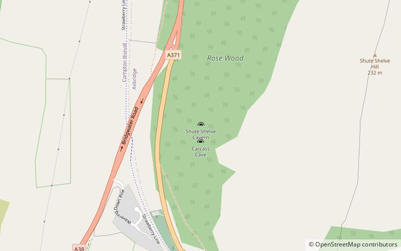
Crook Peak to Shute Shelve Hill is a 332.2 hectare geological and biological Site of Special Scientific Interest near the western end of the Mendip Hills, Somerset. The line of hills runs for approximately 5 kilometres from west to east and includes: Crook Peak, Compton Hill, Wavering Down, Cross Plain and Shute Shelve Hill. Most of the site is owned by the National Trust, which bought 725 acres in 1985, and much of it has been designated as common land. It was notified as an SSSI by Natural England in 1952. ()
Coordinates: 51°17'54"N, 2°52'49"W
Location
England
ContactAdd
Social media
Add
Day trips
Crook Peak – popular in the area (distance from the attraction)
Nearby attractions include: King John's Hunting Lodge, Banwell Caves, The Helicopter Museum, Church of St John the Baptist.


