St Peter's Church, Preston
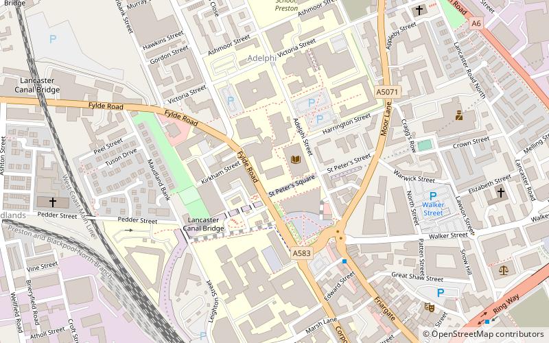
Map

Map

Facts and practical information
St Peter's Church is a redundant Anglican parish church in St Peter's Square, Preston, Lancashire, England. It is recorded in the National Heritage List for England as a designated Grade II* listed building. It was a Commissioners' church, having received a grant towards its construction from the Church Building Commission. In 1973 it became part of Preston Polytechnic, later the University of Central Lancashire. ()
Completed: 1852 (174 years ago)Architectural style: Gothic revivalCoordinates: 53°45'49"N, 2°42'29"W
Day trips
St Peter's Church – popular in the area (distance from the attraction)
Nearby attractions include: Harris Museum, St George's Shopping Centre, Covered Market, Fishergate Shopping Centre.
Frequently Asked Questions (FAQ)
Which popular attractions are close to St Peter's Church?
Nearby attractions include University of Central Lancashire, Preston (1 min walk), St Thomas' Church, Preston (8 min walk), Church of St Walburge, Preston (8 min walk), All Saints Church, Preston (8 min walk).
How to get to St Peter's Church by public transport?
The nearest stations to St Peter's Church:
Bus
Train
Bus
- Bus Station • Lines: 109, 111, 40, 41 (14 min walk)
- Preston Bus Station (14 min walk)
Train
- Preston (15 min walk)


