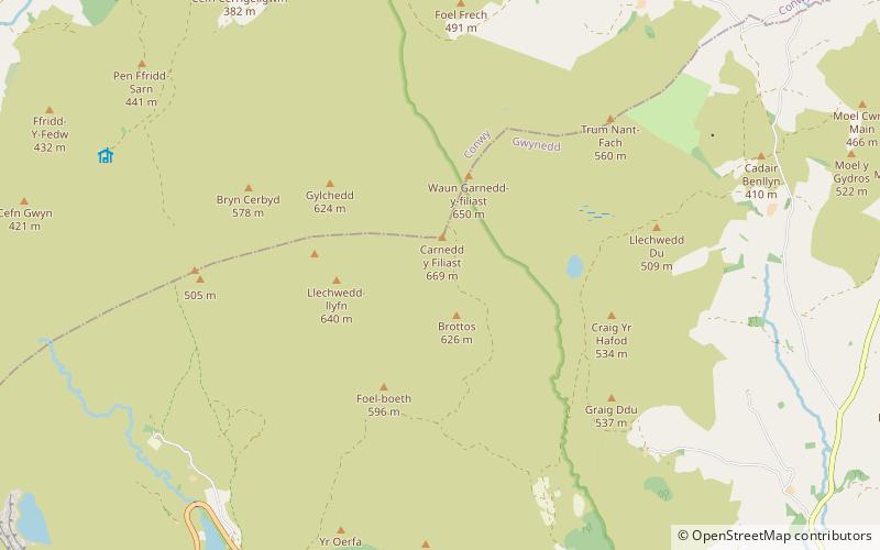
Foel y Geifr, Snowdonia National Park
Map

Map

Facts and practical information
Foel y Geifr is a subsidiary summit of Esgeiriau Gwynion, and included in a group of hills known as the Hirnantau. These hills rise from the south east shores of Llyn Tegid. Confusion arises when trying to establish to which mountain range these belong to. Since, Foel y Geifr forms part of the Hirnant horseshoe, many consider it to be a Berwyn peak. However, geographically it belongs to the Aran Fawddwy group, its parent peak being Esgeiriau Gwynion. It is the eastern outpost of the Arans. ()
Elevation: 2054 ftProminence: 361 ftCoordinates: 52°58'60"N, 3°40'60"W
Address
Snowdonia National Park
ContactAdd
Social media
Add
Day trips
Foel y Geifr – popular in the area (distance from the attraction)
Nearby attractions include: Carnedd y Filiast, Carnedd Llechwedd-llyfn, Trum y Gwragedd, Waun Garnedd-y-filiast.
Frequently Asked Questions (FAQ)
Which popular attractions are close to Foel y Geifr?
Nearby attractions include Foel Goch, Snowdonia National Park (1 min walk), Carnedd Llechwedd-llyfn, Snowdonia National Park (1 min walk), Waun Garnedd-y-filiast, Snowdonia National Park (1 min walk), Trum y Gwragedd, Snowdonia National Park (1 min walk).


