Addington Hills, London
Map

Map

Facts and practical information
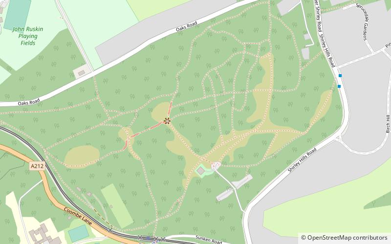
Addington Hills is a park in Upper Shirley, London, England. It is managed by the London Borough of Croydon. It was part of the old parish of Addington before the suburb of Shirley was developed in the 1930s. The site consists largely of woodland on a gravel bed, with London's largest area of heathland at its heart. It is a Site of Metropolitan Importance. In the mid-18th century, it was a noted cricket venue used by the then-prominent Addington Cricket Club. ()
Elevation: 453 ft a.s.l.Coordinates: 51°21'47"N, 0°3'29"W
Address
Croydon (Heathfield)London
ContactAdd
Social media
Add
Day trips
Addington Hills – popular in the area (distance from the attraction)
Nearby attractions include: Addington Palace, Millers Pond, Shirley Windmill, Croham Hurst.
Frequently Asked Questions (FAQ)
Which popular attractions are close to Addington Hills?
Nearby attractions include Shirley Windmill, Warlingham (11 min walk), Coombe Wood, Warlingham (13 min walk), Bramley Bank, Warlingham (16 min walk), Lloyd Park, Warlingham (24 min walk).
How to get to Addington Hills by public transport?
The nearest stations to Addington Hills:
Tram
Bus
Tram
- Coombe Lane • Lines: 3 (7 min walk)
- Gravel Hill • Lines: 3 (23 min walk)
Bus
- Coombe Lane Tram Stop • Lines: 130, 466 (7 min walk)
- Pine Coombe • Lines: 130, 466 (8 min walk)

 Tube
Tube


