An Caisteal, Coll

Map
Facts and practical information
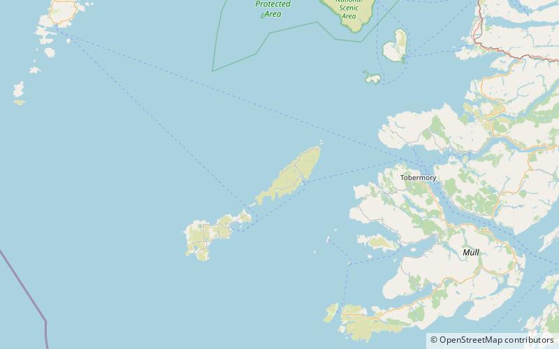
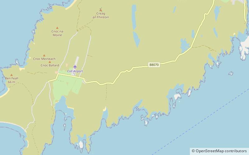
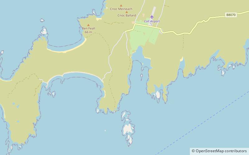
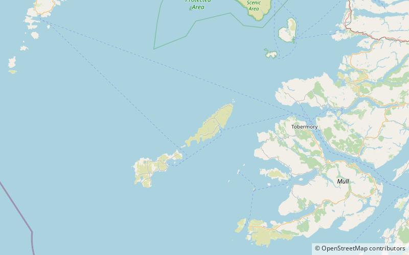
An Caisteal is a hill fort located on the island of Coll. This island is one of the islands which make up the Inner Hebrides located on the west coast of Scotland. The fort is located at grid reference NM17185815. Located 1,200 yards to the north-east of An Caisteal is Dùn Foulag. Dùn Foulag, located at grid reference NM17505908, was once thought to be a dun, though it is now considered to be only a naturally rocky knoll. ()
Coordinates: 56°37'47"N, 6°36'48"W
Address
Coll
ContactAdd
Social media
Add
Day trips
An Caisteal – popular in the area (distance from the attraction)
Nearby attractions include: Breachacha Castle, Dùn an Achaidh, Dùn Anlaimh, Dùn Beic.


